30 - Geocoding
Parsing text into an address and converting an addresses into geographic coordinates like latitude and longitude.
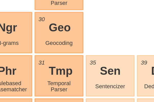
Geocoding is the task of parsing text into an address and converting an addresses into geographic coordinates like latitude and longitude. The goal is to plot an item to a map. In a broader sense, this can also be done for organization names (find the headquarter), facilities and landmarks (convert ‘Eiffel Tower’ into 48°51′29.6″N 2°17′40.2″E ). The opposite is reverse geocoding; from coordinates to an address.
There are a lot of paid API’s for geocoding. Geopy is a Python client for several popular geocoding web services. If you want to do this yourself, you’ll need a reference database. For example the open data from openaddresses.io or geonames.org or a local initiative.

This article is part of the project Periodic Table of NLP Tasks. Click to read more about the making of the Periodic Table and the project to systemize NLP tasks.